Mapping Equity: The Power of HealthyPlan.City and WellUrban’s CWI
Standardized environmental equity maps meet people-centred wellness metrics—so cities can target investments where they matter most.
Introduction
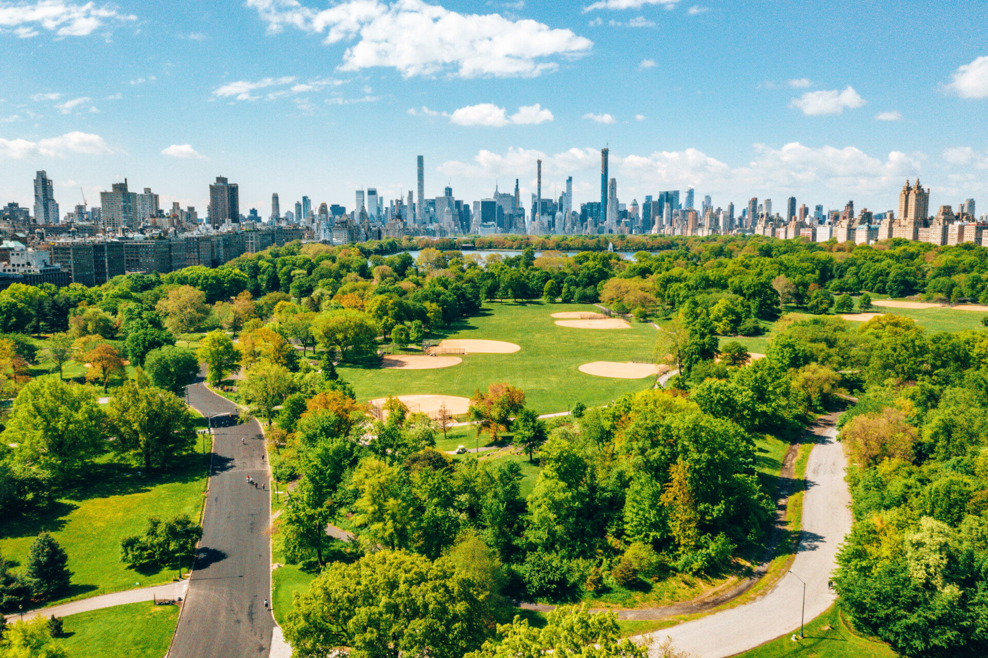
The built environment shapes our health, but the distribution of green space, clean air and active-transportation options is far from equal. Researchers have shown that lower-income neighbourhoods are more likely to face higher pollution, less greenness and fewer walkable streets (pmc.ncbi.nlm.nih.gov). To advance equitable urban development, planners need standardized, accessible data. HealthyPlan.City, released in November 2023, offers a web-based mapping tool that visualizes environmental inequities across 129 Canadian municipalities (pmc.ncbi.nlm.nih.gov). When combined with WellUrban’s Community Wellness Index (CWI), this tool can guide investments in parks, transit, housing and health services.
Why equity mapping matters
Environmental exposures and health. Urban environmental factors such as air quality, neighbourhood greenness, heat islands, food availability and walkability affect chronic disease and mental health (pmc.ncbi.nlm.nih.gov). Systematic analysis of reliable spatial data is needed to identify where vulnerable populations intersect with positive or negative conditions (pmc.ncbi.nlm.nih.gov). Without standardized methods, comparisons between cities are difficult and inequities persist (pmc.ncbi.nlm.nih.gov).
Large cities vs. small communities. Major centres like Vancouver and Toronto have developed equity indices based on the WHO Urban HEART framework (pmc.ncbi.nlm.nih.gov). Montreal implemented a Living Environment Equity Index to locate areas with combined vulnerabilities (pmc.ncbi.nlm.nih.gov). Smaller municipalities often lack the resources to create such tools (pmc.ncbi.nlm.nih.gov), leading to gaps in national surveillance of built-environment determinants of health (pmc.ncbi.nlm.nih.gov).
HealthyPlan.City: A new standard
What it does. Developed by researchers from McGill University, the University of Victoria and other Canadian institutions, HealthyPlan.City uses national census data and environmental datasets to provide block-by-block snapshots of environmental inequities (pmc.ncbi.nlm.nih.gov). The tool normalizes environmental and demographic data into deciles and identifies equity priority areas where vulnerable populations (visible minorities, low-income individuals, immigrants, children, older adults) experience lower environmental quality (pmc.ncbi.nlm.nih.gov). Target users include urban planners, public-health practitioners and community organizations (pmc.ncbi.nlm.nih.gov). An advisory committee of 16 individuals from government, academia, nonprofits and private industry provided guidance on priority indicators (pmc.ncbi.nlm.nih.gov).
The platform features an admin interface for updating datasets, editing content and tracking user analytics (pmc.ncbi.nlm.nih.gov). Environmental indicators are grouped (tree canopy, heat, noise, transit access, etc.), while demographic indicators are downscaled from dissemination areas to dissemination blocks for granular insight (pmc.ncbi.nlm.nih.gov). This standardization enables cross-city comparisons and helps reveal patterns that might otherwise be missed.
Integrating with WellUrban’s Community Wellness Index
While HealthyPlan.City maps environmental and demographic inequities, WellUrban’s CWI combines these with health and wellness metrics. The CWI aggregates data on stress, chronic disease prevalence, mental-health claims and social determinants to produce a holistic wellness score. By overlaying CWI outputs on HealthyPlan.City’s maps, planners can see how environmental conditions translate into health outcomes—e.g., a priority area with low tree canopy and high pollution also shows a low CWI due to elevated asthma rates and mental-health issues.
WellUrban’s WIL (Wellness Intelligence Layer) uses explainable AI to highlight which factors—heat exposure, lack of parks, food deserts—drive low wellness scores. This helps municipal councils communicate the rationale for investments and fosters public trust. Combined with HealthyPlan.City, WIL can identify why certain neighbourhoods are lagging and simulate how improvements (e.g., new parks or bus routes) could lift wellness.
Use case: Prioritizing investment
Consider a mid-sized city with a limited budget for urban improvements. HealthyPlan.City identifies several neighbourhoods with high proportions of older adults and low tree canopy. WellUrban’s CWI shows these areas also have high rates of cardiovascular disease and heat-related hospital visits. Armed with this data, city council prioritizes tree-planting and shading structures in these neighbourhoods. As projects progress, the CWI monitors changes in health outcomes, while HealthyPlan.City tracks environmental improvements. The standardized approach ensures comparability with peer cities and strengthens applications for federal adaptation funding.
Equity needs evidence.
Use standardized maps + CWI to target parks, transit, cooling and housing where they improve wellness the most.
- HealthyPlan.City — Journal of Urban Health article ( pmc.ncbi.nlm.nih.gov )
- WHO — Urban HEART framework (context for equity indices)
- Municipal equity indices — Examples from Vancouver, Toronto, Montreal (as referenced in the Journal of Urban Health article)